logo

Innovative Pavement and Drainage Design Solutions

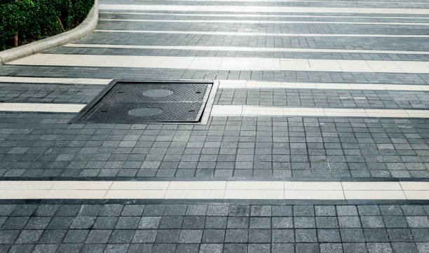
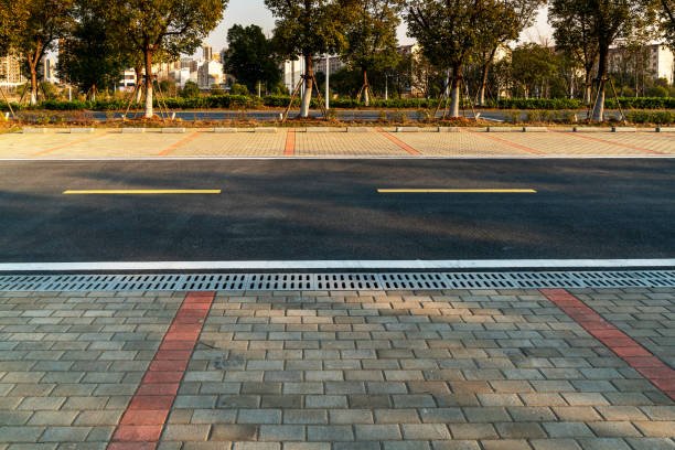
At GISMappers, we provide cutting-edge pavement and drainage design services as part of our comprehensive highway engineering solutions. Our goal is to ensure safe, durable, and cost-efficient roadways through optimized structural and hydrological design.

With advanced design tools such as AutoCAD Civil 3D, MX Road, and OpenRoads Designer, we engineer pavement structures and drainage systems that meet international standards and local regulatory requirements.

Pavement Design GIS
Drainage Design Engineering

Our Expertise Includes:

1. Pavement Design
  • Flexible and rigid pavement designs (using AASHTO, IRC, or TRL methods)
  • Structural analysis for layered materials and traffic load conditions
  • Use of software like HDM-4, KENPAVE, and BISAR for advanced analysis
2. Drainage System Design
  • Surface and subsurface drainage planning
  • Hydraulic modeling using StormCAD, HEC-RAS, and SWMM
  • Design of culverts, side drains, catch basins, and channel systems
3. Sustainable and Resilient Infrastructure
  • Incorporation of green infrastructure and low-impact development (LID)
  • Erosion control, runoff management, and climate resilience planning
4. BIM & GIS Integration
  • Integration of pavement layers and drainage networks into GIS systems
  • 3D corridor modeling for highway visualization and analysis

Our team works with government agencies, infrastructure consultants, and private developers to deliver high-performance pavement and drainage designs tailored for long-term serviceability and environmental sustainability.

Let GISMappers be your trusted partner in designing safe, efficient, and future-ready transportation infrastructure.

L o a d i n g