
GISMappers empowers the construction and infrastructure industry with cutting-edge GIS, AI, and cloud-based geospatial solutions to enhance planning, monitoring, and execution. Our services include high-accuracy mapping for roads, railways, and urban development, leveraging drone-based surveys, LiDAR, and remote sensing for precise terrain analysis.
We integrate digital twins and real-time GIS analytics to optimize project workflows, reduce costs, and improve decision-making. Our solutions support transportation planning, smart city development, and infrastructure asset management, ensuring safety, sustainability, and regulatory compliance. By automating GIS workflows and predictive analytics, we help engineers and planners design smarter, more efficient, and resilient infrastructure networks.
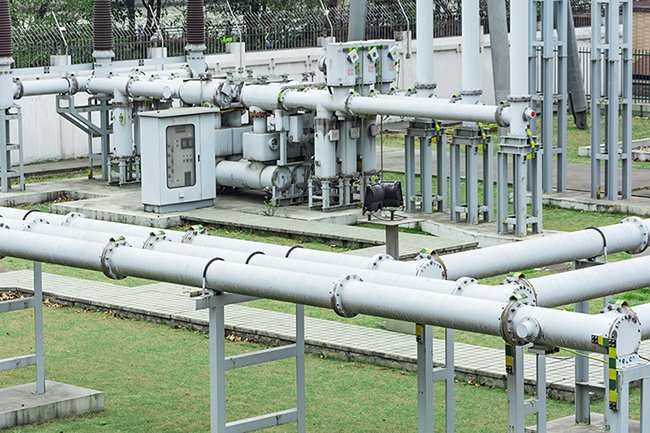
GISMappers provides advanced GIS, AI, and cloud-based solutions for the energy and utilities sector, enhancing efficiency in renewable energy, pipeline inspections, and asset tracking. We leverage remote sensing, LiDAR, and drone-based thermal imaging to monitor solar farms, wind turbines, and power grids for performance optimization.
Our AI-powered predictive analytics detect anomalies, reducing downtime and maintenance costs. For pipelines, we utilize GPR and multispectral imaging to identify leaks, corrosion, and structural risks. Real-time GIS dashboards and IoT integrations ensure seamless asset tracking and regulatory compliance, empowering energy companies with data-driven decision-making for sustainable and resilient infrastructure management.
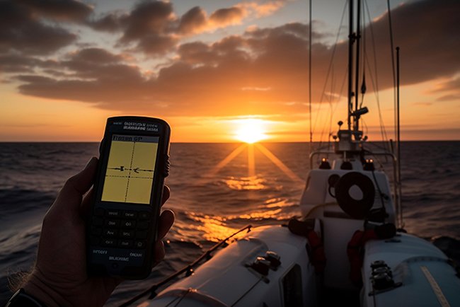
GISMappers delivers cutting-edge marine and coastal surveying solutions using hydrographic mapping, remote sensing, and AI-driven analytics. We conduct bathymetric surveys with multibeam sonar (Hypack, Hysweep) for accurate seafloor mapping, navigation safety, and offshore infrastructure planning.
Our environmental monitoring solutions use satellite imagery, LiDAR, and drone-based hyperspectral imaging to track coastal erosion, marine pollution, and habitat changes. We support port development, offshore wind farms, oil & gas exploration, and disaster risk assessment with real-time GIS data visualization and predictive modeling. Our cloud-based marine GIS platforms enable stakeholders to make informed decisions for sustainable coastal management and marine resource conservation.
GISMappers revolutionizes agriculture and forestry with precision farming, crop health analysis, and AI-driven geospatial insights. Using drone-based multispectral and hyperspectral imaging, we monitor crop health, soil moisture, and vegetation indices to optimize yield and resource efficiency. Our AI-powered predictive analytics detect pest infestations, nutrient deficiencies, and irrigation needs in real time.
In forestry, we employ LiDAR and remote sensing for deforestation monitoring, carbon stock assessment, and wildfire risk analysis. Cloud-based GIS dashboards and IoT integration enable farmers and forestry managers to make data-driven decisions, ensuring sustainable land use, improved productivity, and environmental conservation in agricultural and forestry landscapes.


GISMappers enhances real estate and urban planning with GIS, AI, and 3D geospatial solutions for smart city development and infrastructure planning. We utilize drone-based surveys, LiDAR, and 3D modeling to create digital twins of cities, enabling accurate land-use planning, zoning analysis, and infrastructure optimization.
Our AI-powered geospatial analytics help in site selection, traffic flow analysis, and population density mapping for sustainable urban growth. We provide cloud-based GIS platforms for real-time property valuation, environmental impact assessments, and urban redevelopment projects. With our data-driven approach, city planners and developers can design smarter, more efficient, and livable urban environments.
GISMappers supports government and defense agencies with advanced GIS, AI, and remote sensing technologies for disaster response, national infrastructure mapping, and strategic planning. Our real-time geospatial intelligence aids in emergency management, flood risk assessment, and wildfire monitoring, ensuring rapid and effective response to natural disasters. We provide high-resolution satellite imagery, LiDAR mapping, and drone surveillance for border security, defense logistics, and critical infrastructure protection.
Our cloud-based GIS platforms facilitate national asset tracking, urban development planning, and threat analysis, enabling governments to make data-driven decisions for security, resilience, and sustainable infrastructure development.

© Copyright 2024. All Rights Reserved by GISMappers