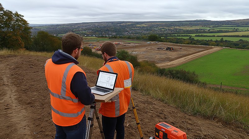
Land & Hydrographic Surveying
GISMappers provides high-precision land and hydrographic surveying services, leveraging the latest geospatial technologies for engineering, construction, marine, and environmental projects. Using advanced GPS, LiDAR, multibeam sonar, and seismic survey techniques, we deliver accurate topographic, cadastral, and bathymetric mapping solutions.
Topographic & cadastral mapping for engineering projects
Bathymetric surveys using multibeam sonar (Hypack, Hysweep)
Seismic & sub-surface surveys for oil, gas & marine projects
Coastal erosion & flood risk mapping
Key Offerings:
1. Topographic & Cadastral Mapping for Engineering Projects
- High-accuracy land surveys using **GNSS, Total Stations, and LiDAR technology**.
- Cadastral mapping for **land ownership verification, boundary disputes, and urban planning**.
- Provides **elevation models, terrain analysis, and site development plans** for civil engineering projects.
2. Bathymetric Surveys using Multibeam Sonar (Hypack, Hysweep)
- Hydrographic mapping with **multibeam and single-beam sonar** to determine underwater topography.
- Supports **port development, dredging operations, and navigation safety assessments**.
- Uses **Hypack and Hysweep software** for precise **seabed mapping and 3D underwater modeling**.
3. Seismic & Sub-Surface Surveys for Oil, Gas & Marine Projects
- Uses **seismic reflection and refraction techniques** to analyze subsurface geological structures.
- Supports **offshore oil & gas exploration, pipeline route planning, and marine construction projects**.
- Provides **geophysical data on rock formations, fault lines, and sediment layers**.
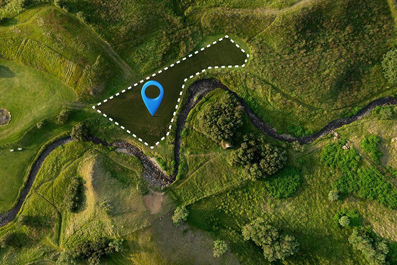
4. Coastal Erosion & Flood Risk Mapping
- Monitors **shoreline changes, coastal erosion, and sediment transport** using **satellite imagery and UAV surveys**.
- Helps in **flood risk assessment and disaster management planning**.
- Provides **data-driven insights for sustainable coastal management and marine conservation efforts**.
Benefits of Land & Hydrographic Surveying:
- ✔ **High-Accuracy Data** – Delivers precise geospatial information for engineering and marine projects.
- ✔ **Advanced Technology** – Utilizes **GNSS, LiDAR, UAVs, and sonar systems** for efficient surveying.
- ✔ **Cost & Time Efficiency** – Reduces the need for traditional surveying methods, cutting project costs and timelines.
- ✔ **Real-Time Monitoring** – Enables continuous data collection for better decision-making in construction and marine planning.
- ✔ **Compliance & Safety** – Ensures compliance with **government regulations** and enhances safety in hazardous survey areas.
By integrating land, marine, and geophysical survey technologies, GISMappers delivers high-quality, data-driven solutions that support infrastructure development, resource management, and environmental conservation.