logo

AI & Big Data GIS Analytics

GISMappers leverages artificial intelligence (AI) and big data technologies to transform raw geospatial data into actionable insights. Our AI-powered GIS solutions help businesses, government agencies, and researchers analyze vast amounts of spatial data with greater speed, accuracy, and efficiency.

AI-powered land classification & change detection using machine learning

Automated object detection in remote sensing images

Predictive GIS modeling for disaster management & urban planning

Big Data GIS processing for large-scale spatial analytics

corporate_business_details

Key Offerings:

1. AI-Powered Land Classification & Change Detection
  • Uses machine learning (ML) and deep learning models to classify land cover types (e.g., urban, agricultural, forest, water bodies).
  • Detects changes in land use over time, helping in environmental monitoring, deforestation analysis, and urban expansion tracking.
  • Automates satellite and drone image interpretation, reducing manual effort and improving accuracy.
2. Automated Object Detection in Remote Sensing Images
  • Employs AI-driven image processing to detect objects such as buildings, roads, vehicles, and vegetation in satellite and aerial imagery.
  • Useful for urban planning, disaster assessment, military surveillance, and infrastructure monitoring.
  • Enhances decision-making in industries like agriculture, mining, and construction by providing detailed spatial insights.
3. Predictive GIS Modeling for Disaster Management & Urban Planning
  • Utilizes AI and GIS to predict natural disasters such as floods, wildfires, landslides, and hurricanes.
  • Integrates real-time weather data, topography, and historical patterns to create risk assessment models.
  • Supports city planners in designing sustainable urban environments by forecasting population growth, traffic congestion, and infrastructure needs.
4. Big Data GIS Processing for Large-Scale Spatial Analytics
  • Handles massive geospatial datasets from satellites, drones, IoT sensors, and GIS platforms.
  • Uses cloud computing and parallel processing to analyze large-scale spatial information in real time.
  • Supports industries such as agriculture, forestry, and utilities by delivering high-resolution, data-driven insights.

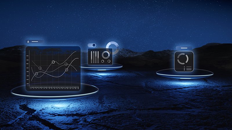
By combining AI, machine learning, and big data with geospatial intelligence, GISMappers delivers cutting-edge analytics to drive smarter, data-informed decisions across various industries.

L o a d i n g