At GISMappers, we deliver advanced 3D ground modelling services for civil and highway engineering projects, enabling accurate earthwork calculations, terrain visualization, and optimal road design.
Using tools like AutoCAD Civil 3D, Bentley OpenRoads, and GIS-integrated LiDAR data, our team creates detailed digital terrain models (DTMs), triangulated irregular networks (TINs), and volumetric surfaces for cut and fill analysis.

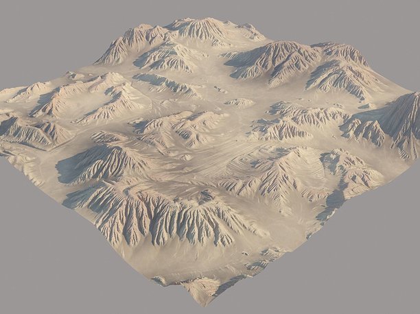
3D ground modelling allows engineers and planners to visualize topographic constraints, estimate project costs accurately, and streamline highway design processes from concept to construction.
Choose GISMappers for dependable 3D ground modelling and geospatial support tailored to the needs of complex transportation infrastructure.
© Copyright 2024. All Rights Reserved by GISMappers