Division 01
GIS Mappers
Survey & mapping services
Land, topographic, bathymetric, hydrographic, drone, GIS, 3D laser scanning and engineering survey services with documented accuracy.
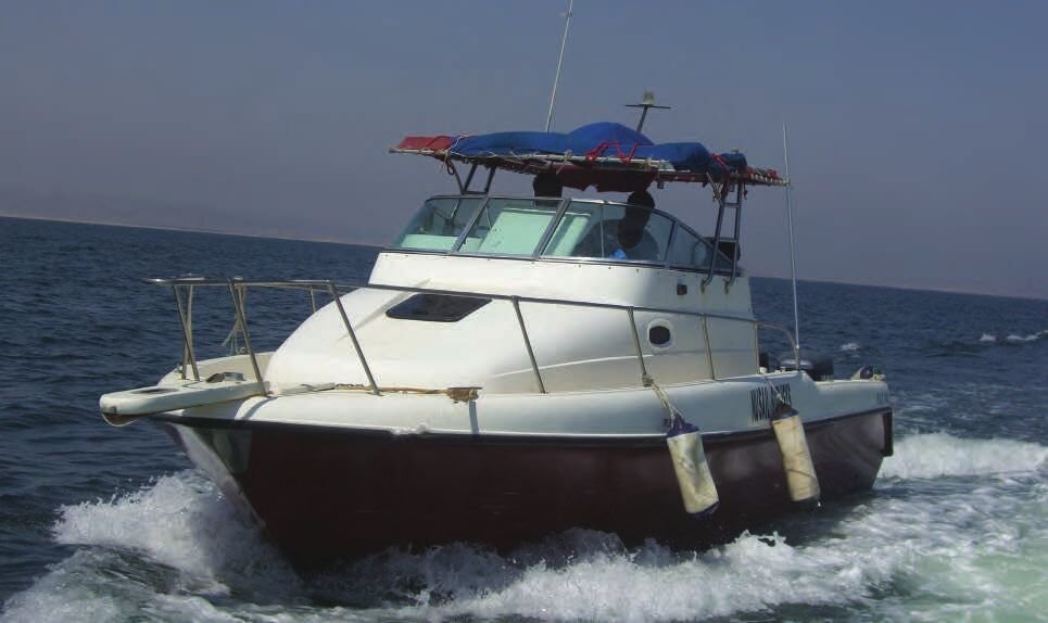
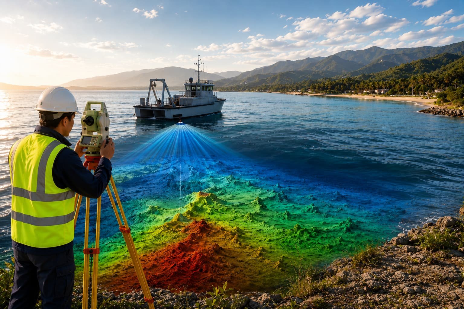
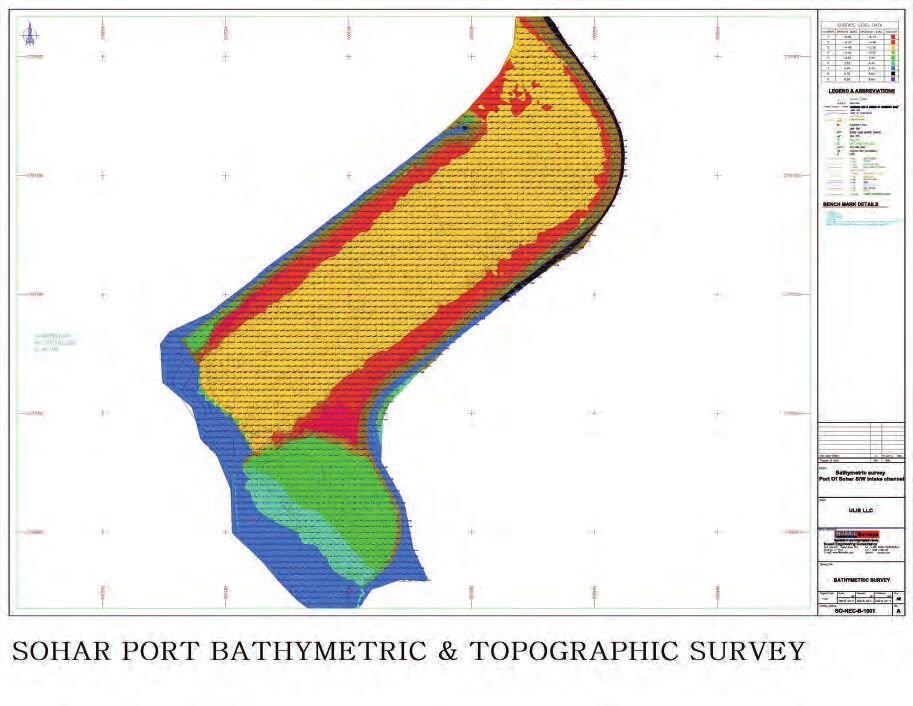
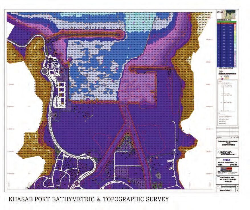
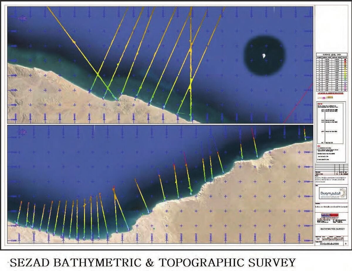
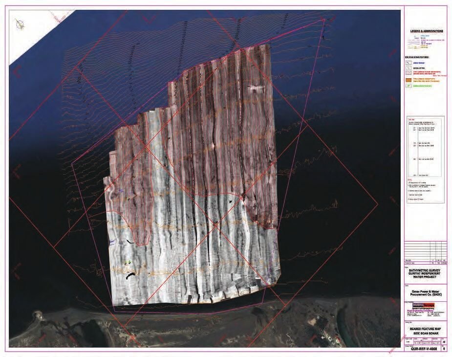
- Bathymetric & hydrographic survey
- Land, topographic & engineering survey
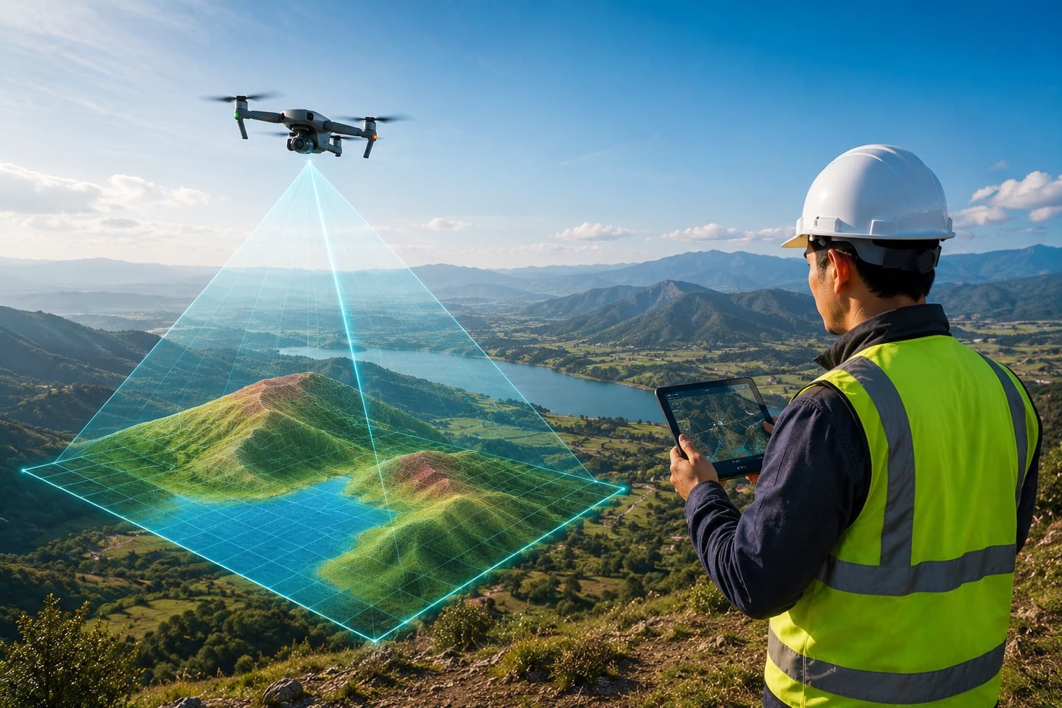
- Drone mapping & 3D laser scanning
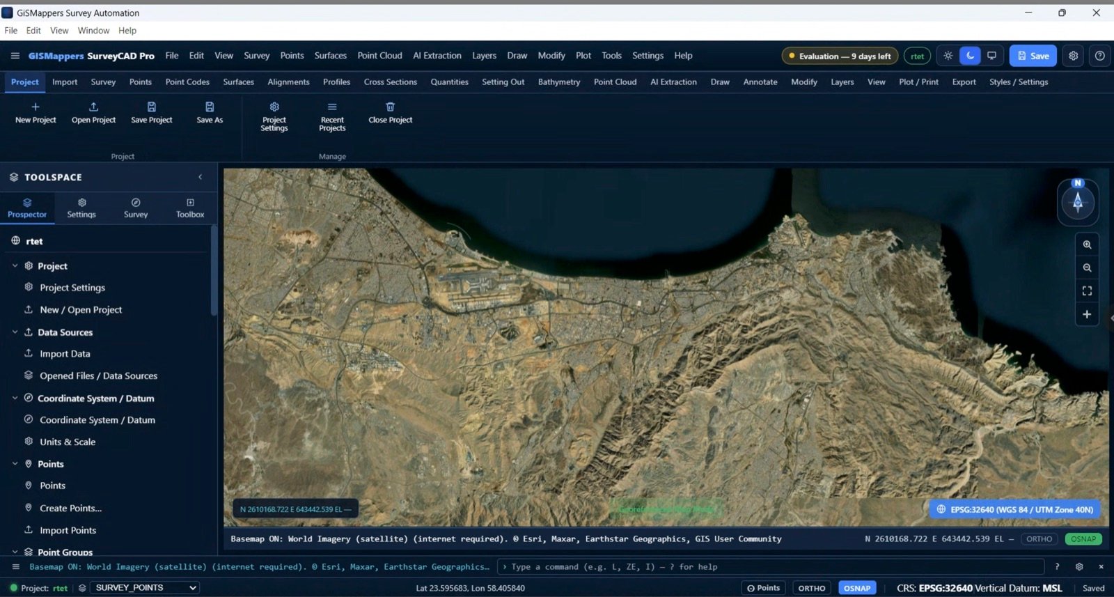
- GIS, utility detection & digital deliverables
 Ports & Harbours
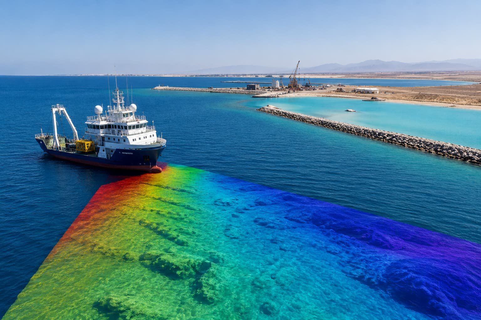 Marine & Coastal
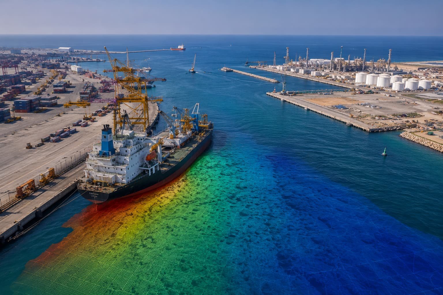 Engineering & Construction
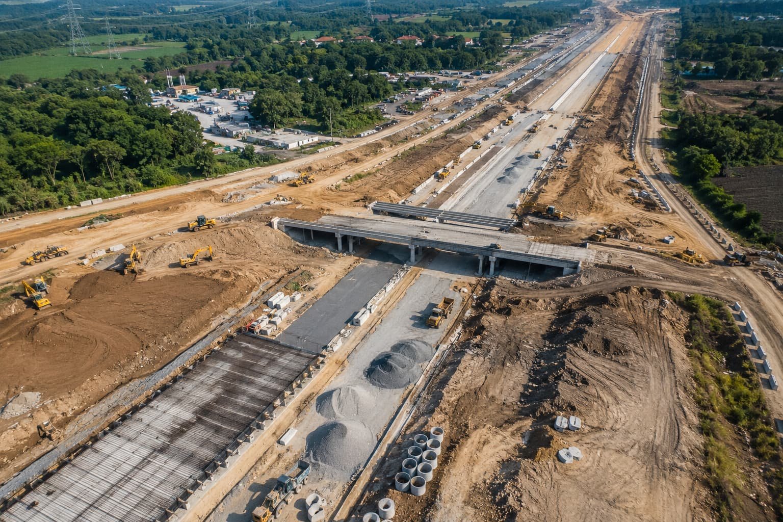
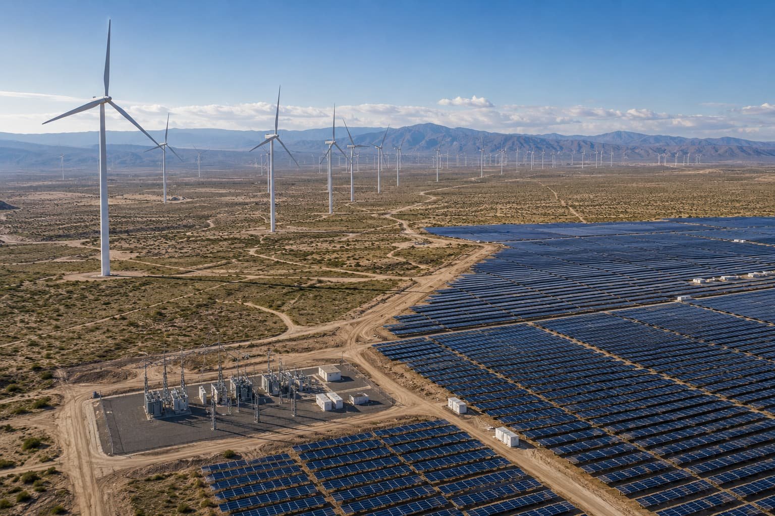 Roads & Infrastructure
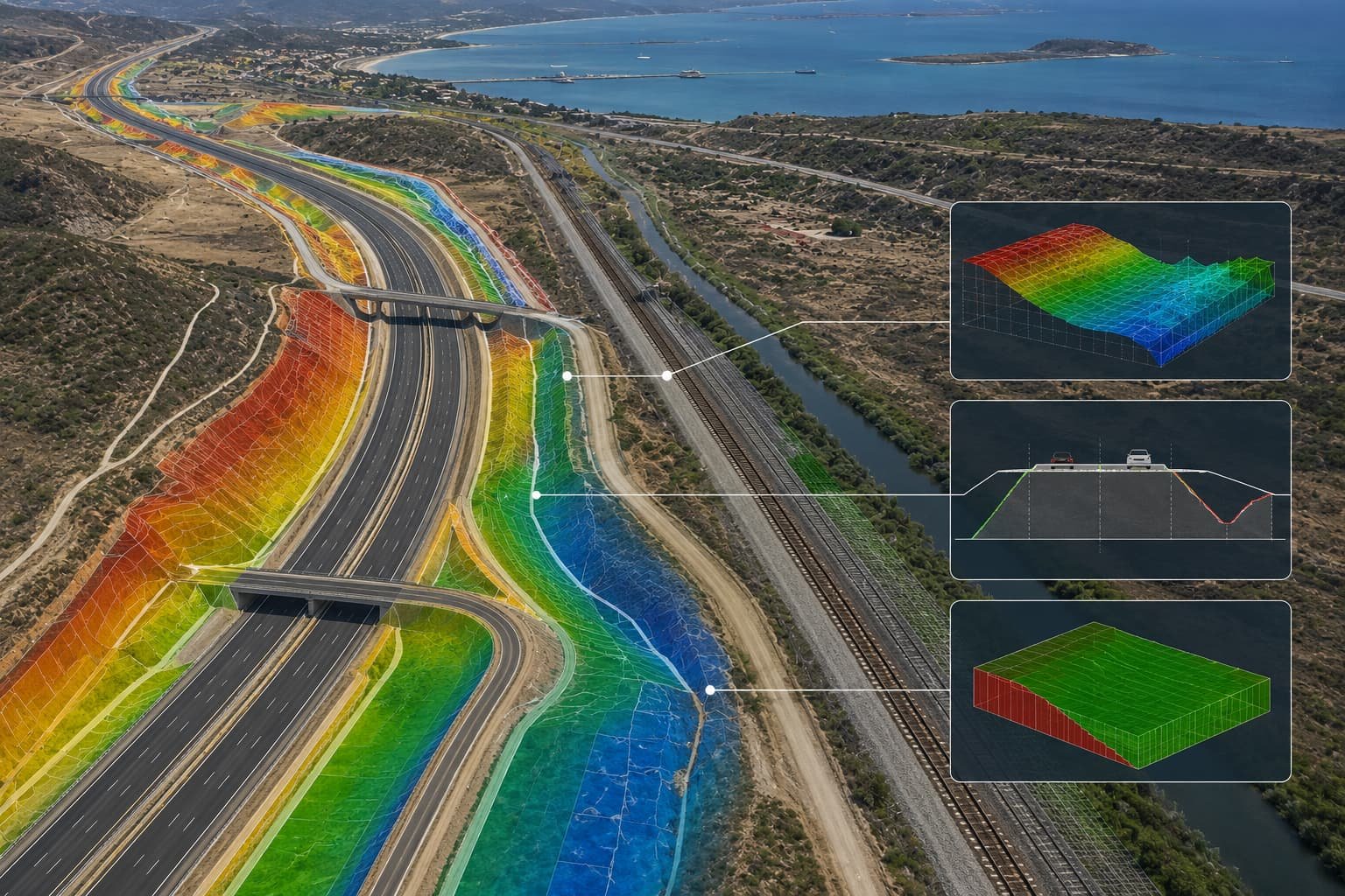 Government & Public Sector
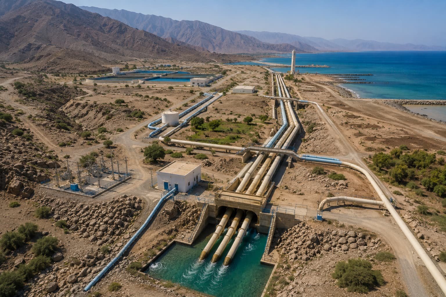 Water & Utilities
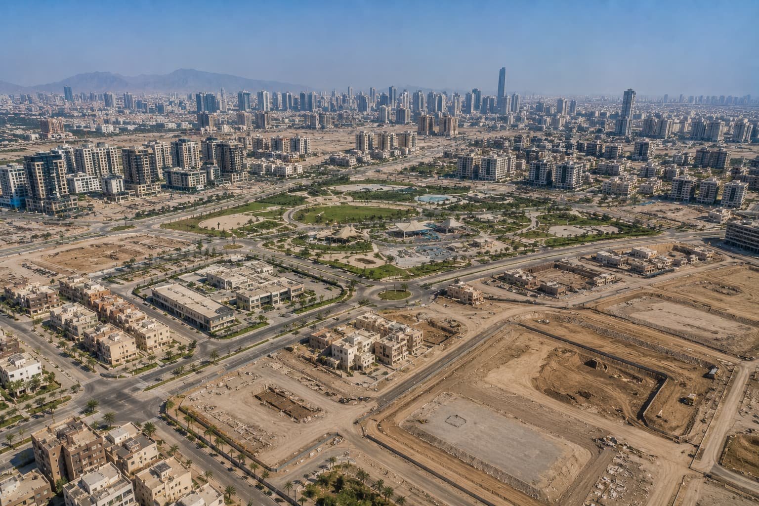 Renewable Energy
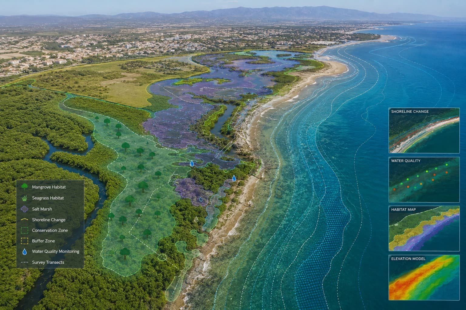 Environmental
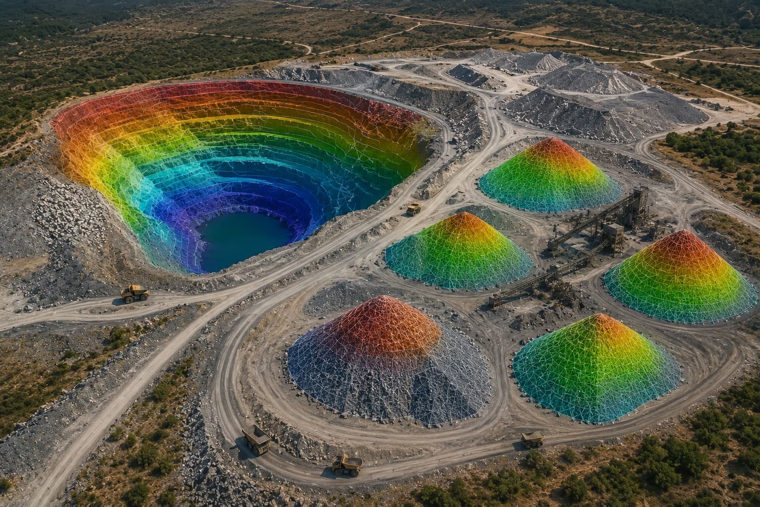 Urban Development
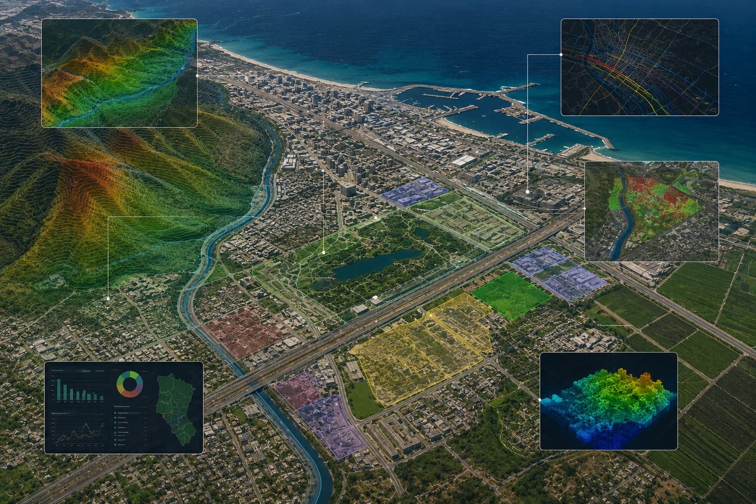 Mining & Quarrying